Professional Drone Surveying Solutions from Sherrington Lifting Services
Drone Surveys
At Sherrington Lifting Services, we provide specialist drone survey services, offering high-precision aerial inspections, site mapping, and structural assessments. Using the latest in drone technology, we capture high-resolution imagery and real-time data, allowing for safer, faster, and more cost-effective surveying solutions.
Whether you need construction progress monitoring, infrastructure inspections, or aerial mapping, our CAA-licensed drone operators ensure accurate, detailed, and fully compliant surveys, reducing the need for costly scaffolding, working at height, or site closures
Drone Survey Services
Our drone survey services support a variety of industries, including:
✔ Construction & Infrastructure – Site progress tracking, structural inspections, and land mapping.
✔ Industrial & Manufacturing – Assessing plant facilities, machinery, and industrial structures.
✔ Energy & Utilities – Inspecting wind turbines, solar farms, power lines, and substations.
✔ Agriculture & Environmental – Monitoring crops, forestry, and land usage for conservation and planning.
✔ Logistics & Transport – Assessing roads, railways, bridges, and large transport networks.
We ensure that every drone survey is tailored to the specific needs of your project, providing accurate data and actionable insights.
What’s included in our Drone Survey Services?
We offer a comprehensive range of aerial survey solutions, delivering high-quality data and actionable insights for various industries.
✅ Structural & Building Inspections
High-resolution aerial surveys for roofs, facades, bridges, and industrial structures.
Identifying structural weaknesses, damage, and maintenance requirements.
Reducing the need for scaffolding, cherry pickers, or working at height.
✅ Construction Progress Monitoring
Capturing regular aerial updates to track site development.
Enhancing project planning, safety compliance, and progress reporting.
Improving communication between contractors, stakeholders, and project managers.
✅ Topographical & Land Surveys
Accurate terrain mapping and volumetric calculations.
Aiding in site planning, earthworks management, and infrastructure development.
Generating high-resolution 2D maps and 3D models for site analysis.
✅ Industrial & Asset Inspections
Safe and efficient inspections of wind turbines, power lines, telecom towers, and industrial sites.
Reducing downtime and improving predictive maintenance strategies.
Identifying corrosion, leaks, and potential failures with thermal imaging.
✅ Environmental & Agricultural Surveys
Monitoring vegetation health, drainage systems, and land usage.
Supporting environmental assessments and conservation efforts.
Enhancing farm management, crop monitoring, and yield optimization.
Our drone surveys provide accurate, real-time data, ensuring informed decision-making and enhanced project efficiency.
Health and Safety
At Sherrington Lifting Services, we operate with a zero-tolerance approach to safety risks. Every lift is carried out with strict adherence to BS 7121 (Safe Use of Cranes) and LOLER 1998 regulations.
For added peace of mind, our insurance covers:
- Loss or damage to our cranes and lifting equipment.
- Third-party liability coverage for any unforeseen incidents.
- Comprehensive risk management to protect your project, staff, and site.
Your safety and compliance are our top priorities, ensuring every contract lift is completed securely and efficiently.
More about our Drone Survey Services
Traditional surveying methods can be time-consuming, costly, and pose safety risks. Drone surveys offer a faster, safer, and more detailed alternative, allowing for highly accurate aerial assessments with minimal disruption.
Benefits of Our Drone Survey Services:
✔ Reduced Risk & Increased Safety – Avoids the need for working at height and high-risk manual inspections.
✔ Faster Data Collection – Covers large areas quickly, providing rapid insights and real-time reporting.
✔ Highly Accurate Results – High-resolution imagery, GPS precision mapping, and thermal imaging options.
✔ Cost-Effective Solutions – Eliminates the need for scaffolding, cherry pickers, or complex access solutions.
✔ Minimal Disruption – Surveys are non-intrusive and can be conducted without halting operations.
From construction sites to industrial facilities and environmental projects, our drone technology delivers valuable insights with maximum efficiency.
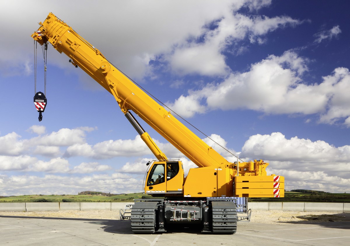
For nationwide premium service and outstanding crane hire services, choose Sherrington Lifting. Based in Liverpool, Manchester, and surrounding areas, we pride ourselves on providing a dependable and efficient service. It is essential that you can confidently rely on your crane hire provider to keep you and your team safe.
